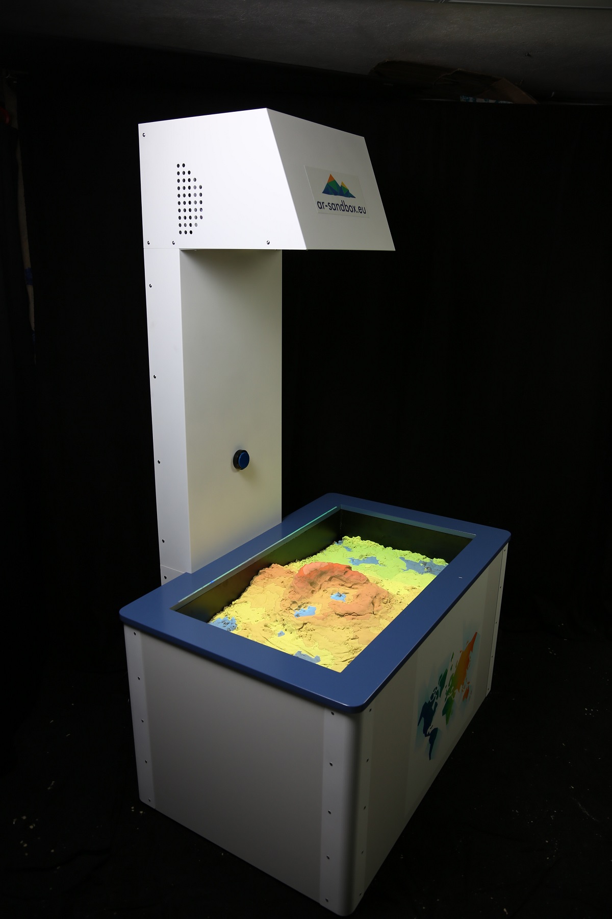
AR-Sandbox
The interactive sandbox shows a virtual tophographic map on the sand surface. Depending on the terrain level, adequate colours and contour lines are shown. The software also supports simulating water that fills the lowest regions. All is controlled in real time with a computer. For more info visit the project’s page: https://ar-sandbox.eu/
Date: 23rd January 2018

